
Petra Millar
About
I've been working as a software developer since 2017, my interests include (but are not limited to) C++, maps and all things geospatial. I started my programming journey at high school, where I got introduced to Pascal...yes, you read that right.
Anyway, it only made sense to combine my love for maps and programming and study Geodesy, Cartography and Geomatics at University, choosing Geomatics for my Master's degree afterwards. I took extra courses titled Design and Analysis of Algorithms, Computer Networks and Informatics 4. I took the course on Algorithms in Digital Cartography a year early.
I am currently located in Toronto, Canada and am working as a C++ Backend Software Engineer.
My Education
- Master's degree - 2019 - Geomatics at Czech Technical University in Prague
- Postgraduate thesis: Combinatorial computation of coordinates in the GNU Gama project
- Bachelor's degree - 2017 - Geodesy, Cartography and Geoinformatics at Czech Technical University in Prague
- Undergraduate thesis: Smoothing of spectrometric data
Portfolio
Uploader of GNU Gama
As of August 2019 I have the absolute pleasure to be one of the uploaders for the GNU Gama project lead by prof. Ing. Aleš Čepek, CSc. GNU Gama is a set of programs for computation and adjustment of geodetic networks. I became familiar with the project while working on my postgraduate thesis (see below) and decided to continue contributing to the project even after completing my degree. As an uploader I can release new versions, push changes to the main repository and am responsible for the Windows binaries for the project.
Postgraduate thesis
Combinatorial computation of coordinates in the GNU Gama project - In the thesis, I proposed and implemented new methods of calculating approximate coordinates in a way that fixed the existing computation of long traverses and helped eliminate calculation with measurements containing gross errors. The code found its way into the official release of GNU Gama v2.05. Below is a visual sample of what I have fixed - before is red and after is green!

Prague Microbreweries
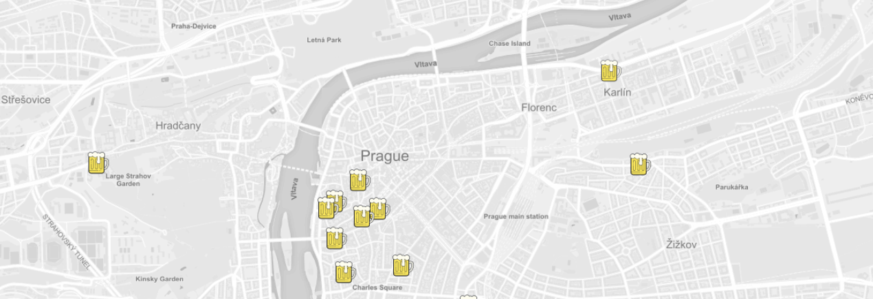
This is a map showing the user's location and the location of Prague's microbreweries, along with additional information about them. This was a fun little project to learn about Leaflet, Mapbox and JavaScript.
Undergraduate thesis
Smoothing of spectrometric data - A console application that takes spectrometric data in xml format as input and outputs their smoothed coordinates depending on which filter and parameters were set. The thesis included comparison of the output data and different methods of smoothing. The data was then used for research on recognition of different materials according to their spectrometry. You can see an example of data (green) smoothed by my program below (blue line).

Courses & certificates
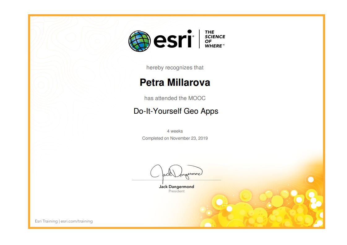
Esri MOOC: Do-It-Yourself Geo Apps
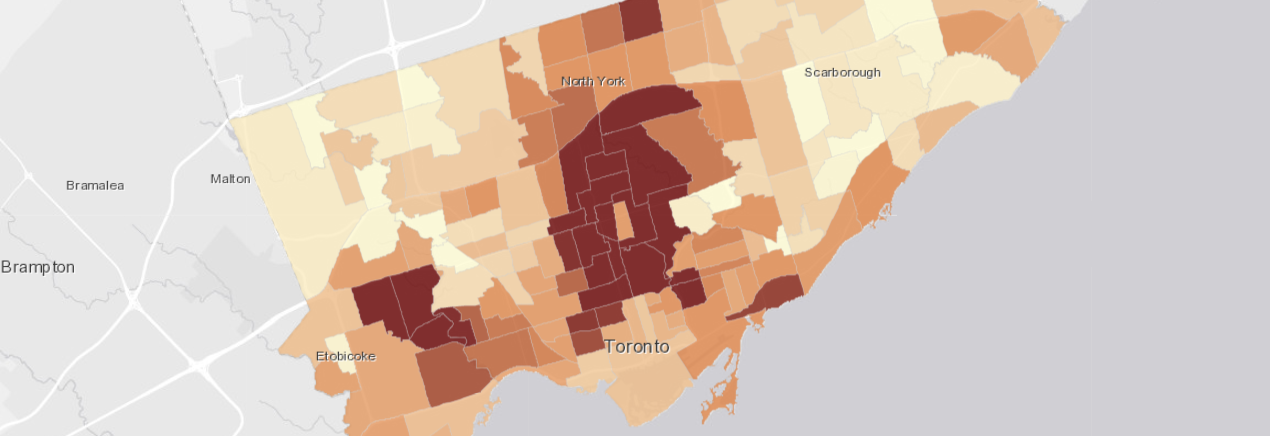
In this 4 week long online course, I had the opportunty to familiarize myself more with Esri's ArcGIS Online and the various options for creating and publishing stories, web maps and apps. As part of this course, I created a Geo App showing various information about Toronto's neighbourhoods. I used the Toronto Wellbeing open data and Esri's Web App Builder to experiment with the JavaScript API to tweak the app.
You can read more about the MOOC here.
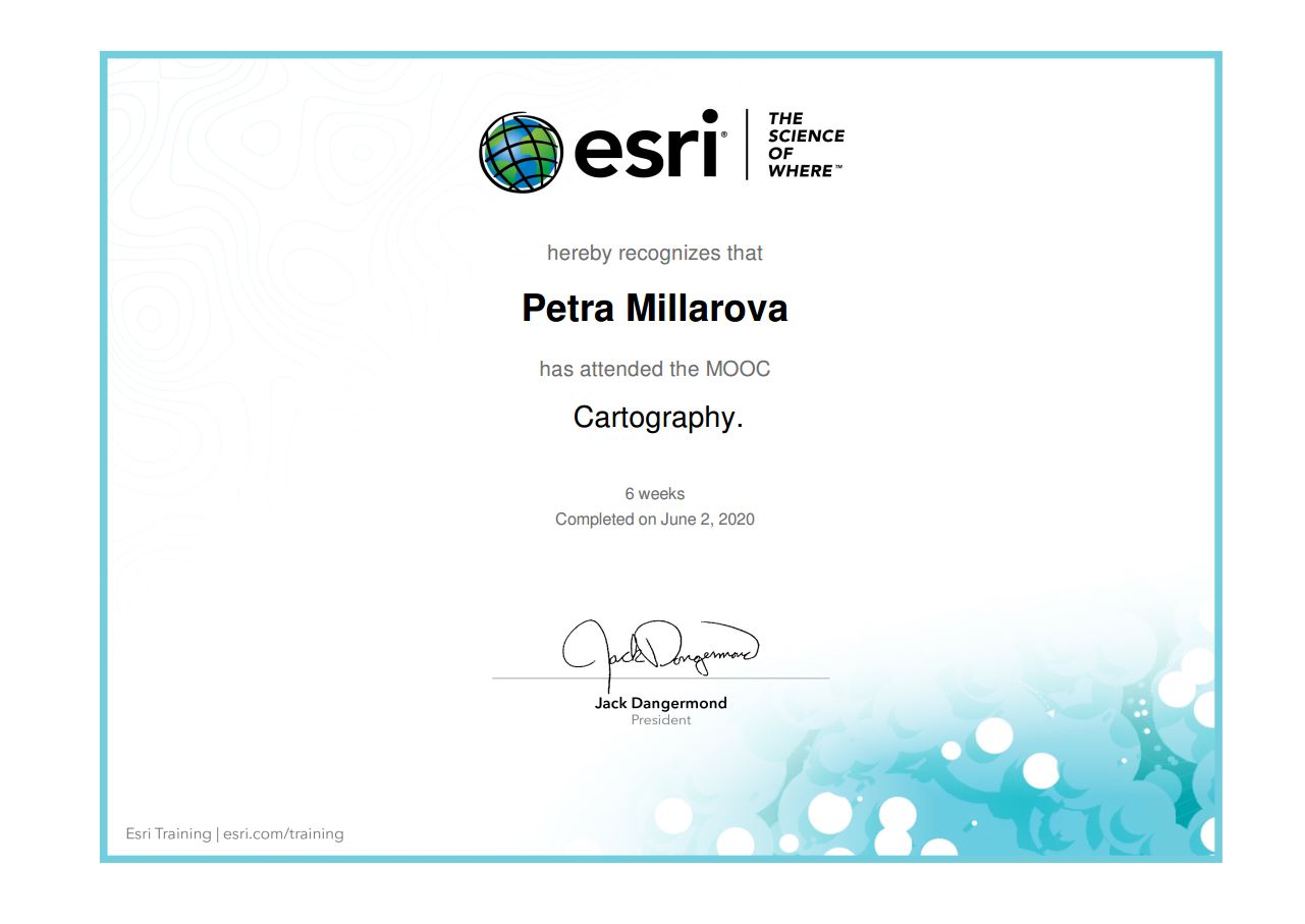
Esri MOOC: Cartography
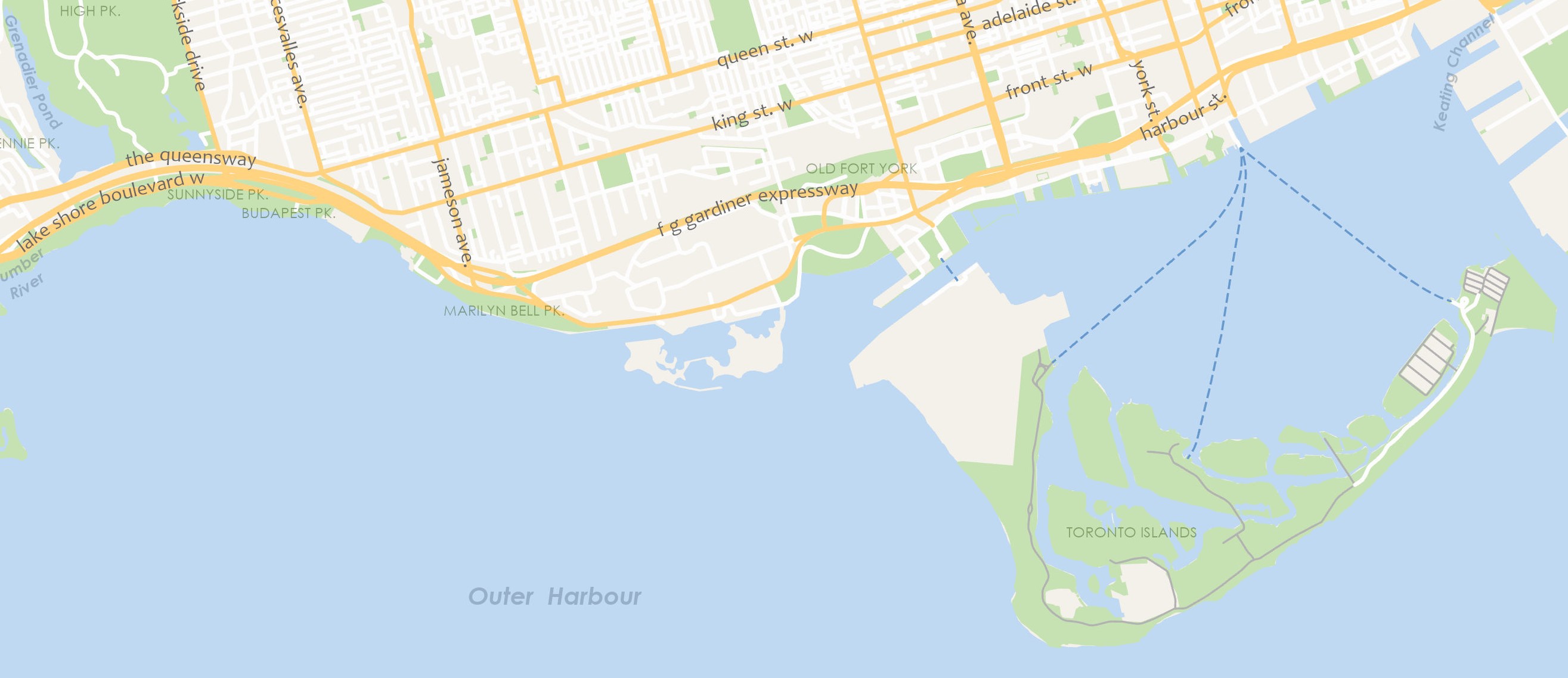
This 6 week long course focused on the basics of cartography and creating maps with ArcGIS Pro. It was a great way to refresh my mapping skills and to try out new Esri products I wouldn't otherwise have access to. The course included lessons on generalization, coordinate systems and 3D Scenes among other things. Below is a snippet of a map I created as part of a lesson on labelling.
You can read more about the MOOC here.
Skills
Contact
Toronto, ON
+1 (647) 614-3145
petrammillar[at]gmail.com
millapet[at]gnu.org